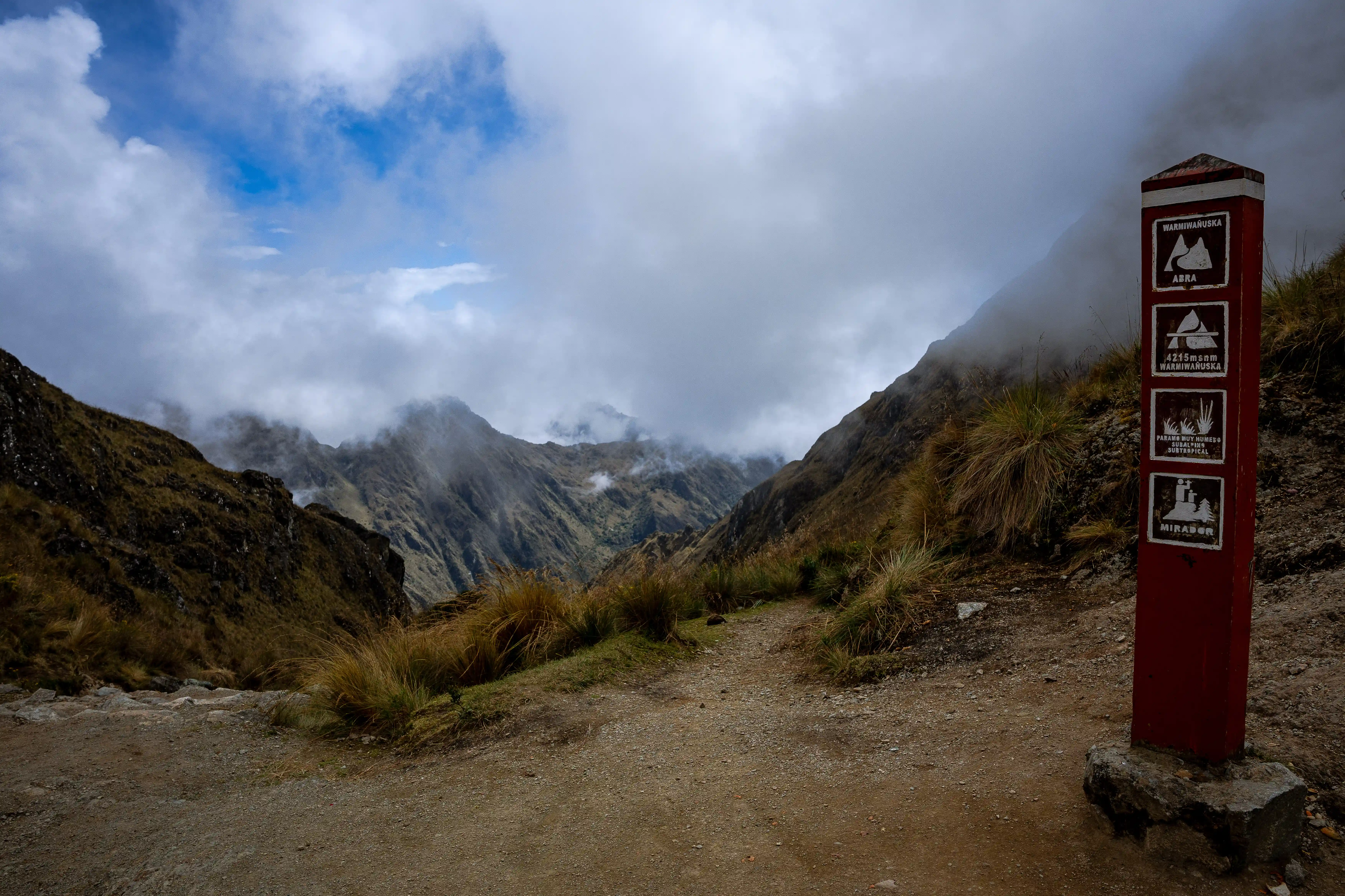
At 4,215 metres above sea level, Warmiwañusqa — Dead Woman's Pass — is the highest point of the Classic Inca Trail. The name derives from the profile of the mountain ridge as seen from below: a silhouette that resembles, with enough imagination and altitude sickness, a woman lying on her back.
By the time most trekkers reach the summit, they are moving slowly. The Inca Trail starts at 2,700 metres at the trailhead near Ollantaytambo, and the ascent on the second day gains over 1,200 metres. At this altitude, the air contains approximately 60% of the oxygen available at sea level.
Altitude and Physiology
The immediate response to reduced oxygen is hyperventilation — breathing faster to maintain adequate oxygen saturation. Over days to weeks, the body increases red blood cell production and undergoes vascular adaptations that improve oxygen delivery. The Quechua-speaking people of the Andes have lived at high altitude for thousands of years and carry genetic adaptations that confer genuine physiological advantages — including higher baseline haemoglobin concentration and different haemoglobin-oxygen binding properties compared to lowland populations.
The Inca solution to the demands of altitude was coca (Erythroxylum coca). The coca leaf, chewed with a small amount of alkaline material, releases a mild stimulant, suppresses hunger and fatigue, and is genuinely effective at managing mild altitude sickness. At every rest point along the Inca Trail, vendors sell coca tea and leaves. Guides recommend it. It works.
The Inca Road System
The Inca Trail is a segment of the Qhapaq Ñan — the Great Inca Road — a network of approximately 40,000 kilometres of engineered paths that connected every corner of Tawantinsuyu, the Inca Empire. The roads were built for communication, military movement, and the transport of goods by human porters, llama caravans, and relay runners called chasquis, who could carry a message the 2,000 kilometres from Quito to Cusco in approximately five days.
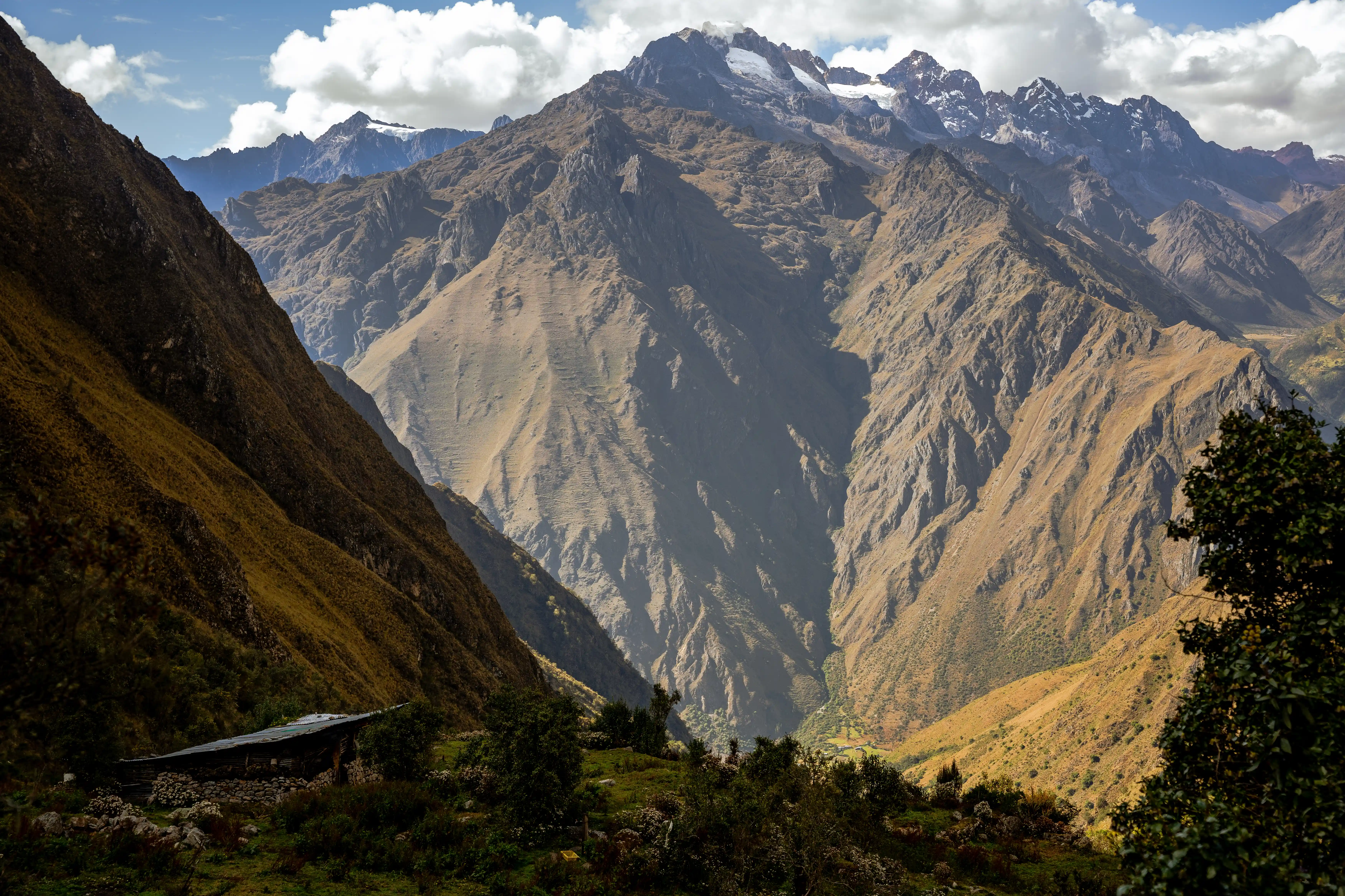
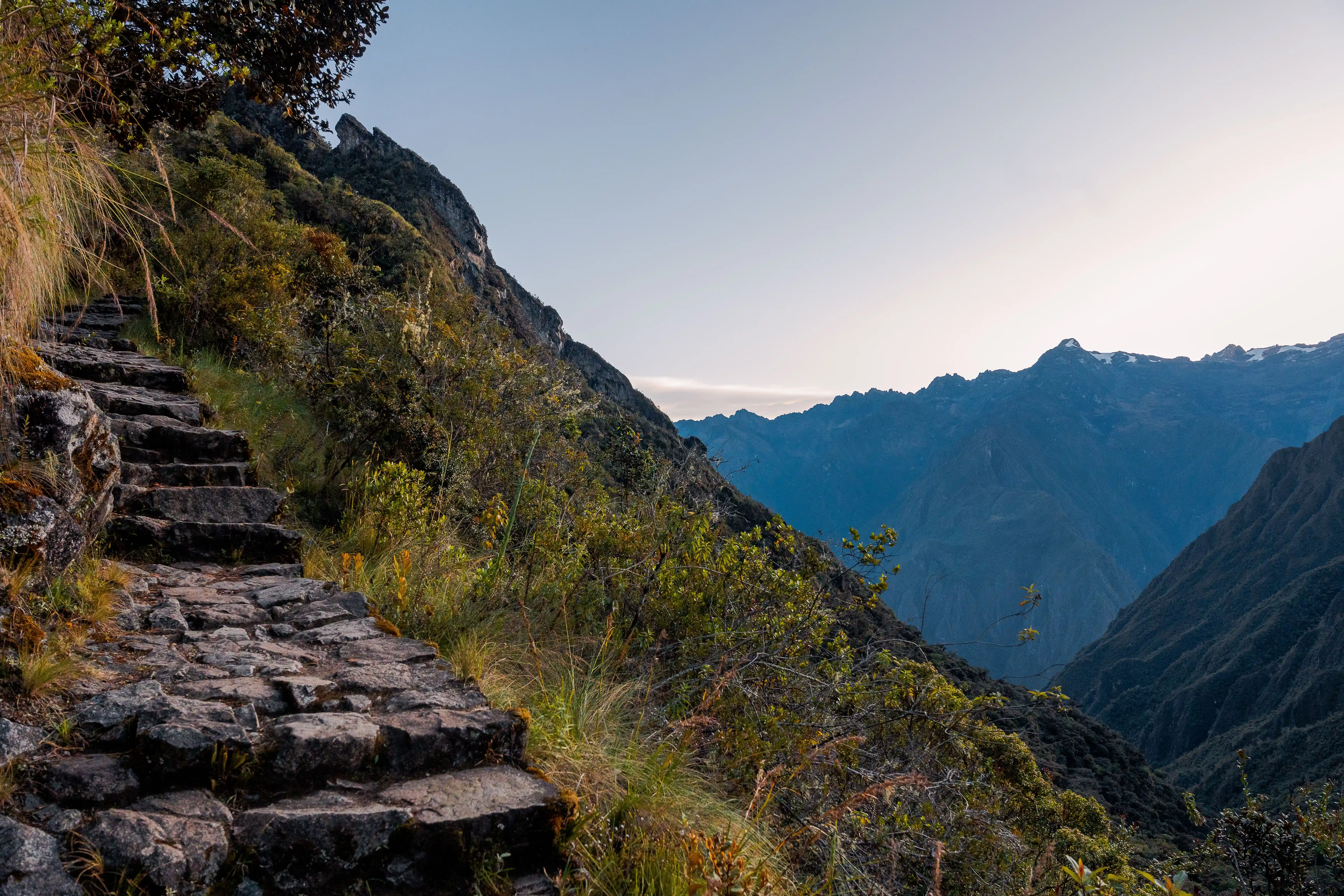
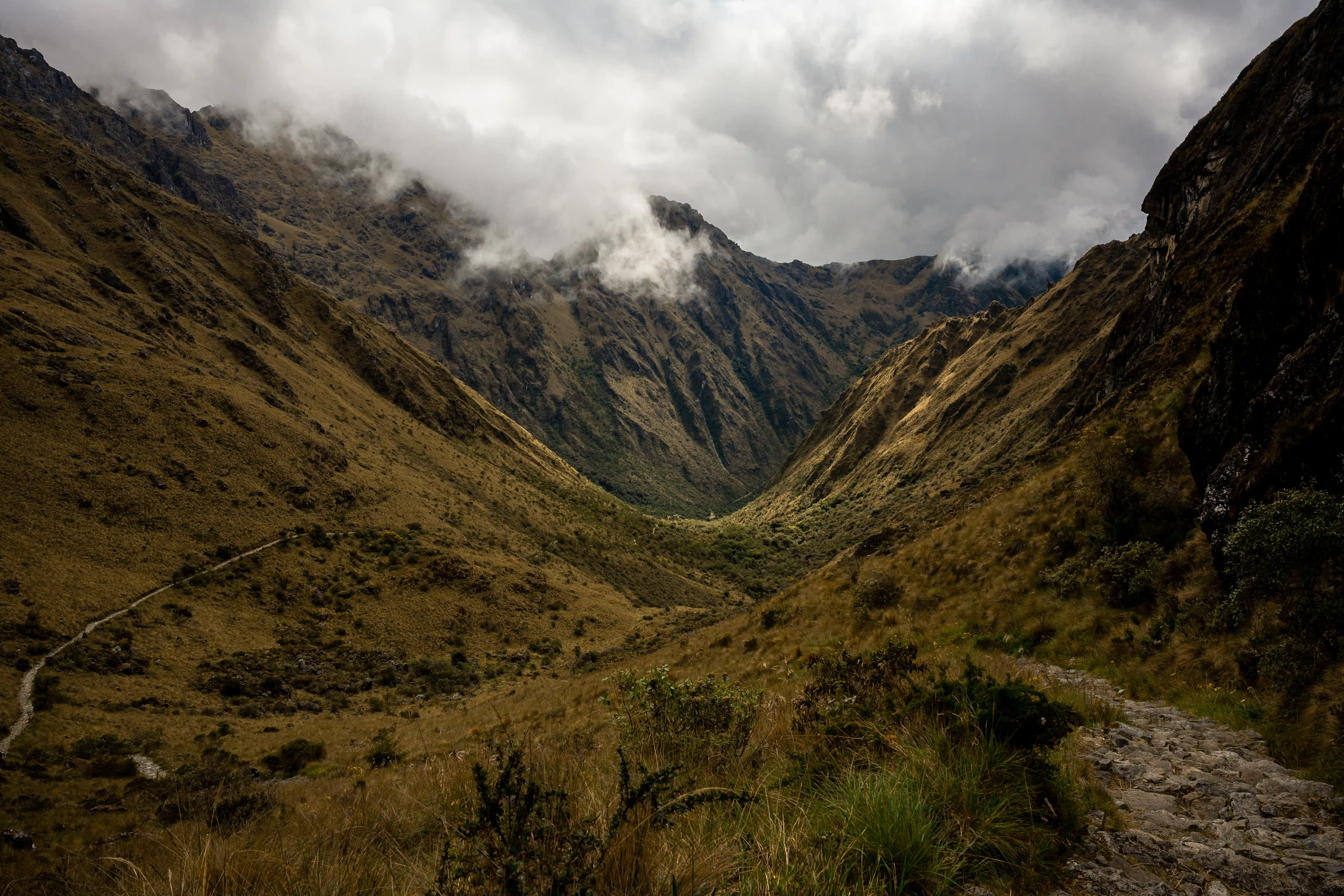
The section of road comprising the Classic Inca Trail was a ceremonial route connecting the Urubamba Valley to Machu Picchu via a series of passes and Inca stations. The engineering is extraordinary: stone-paved paths, drainage channels, retaining walls, and staircases cut directly into the mountainside, all constructed without iron tools, wheeled transport, or horses. Much of the original paving is intact.
The Photographs
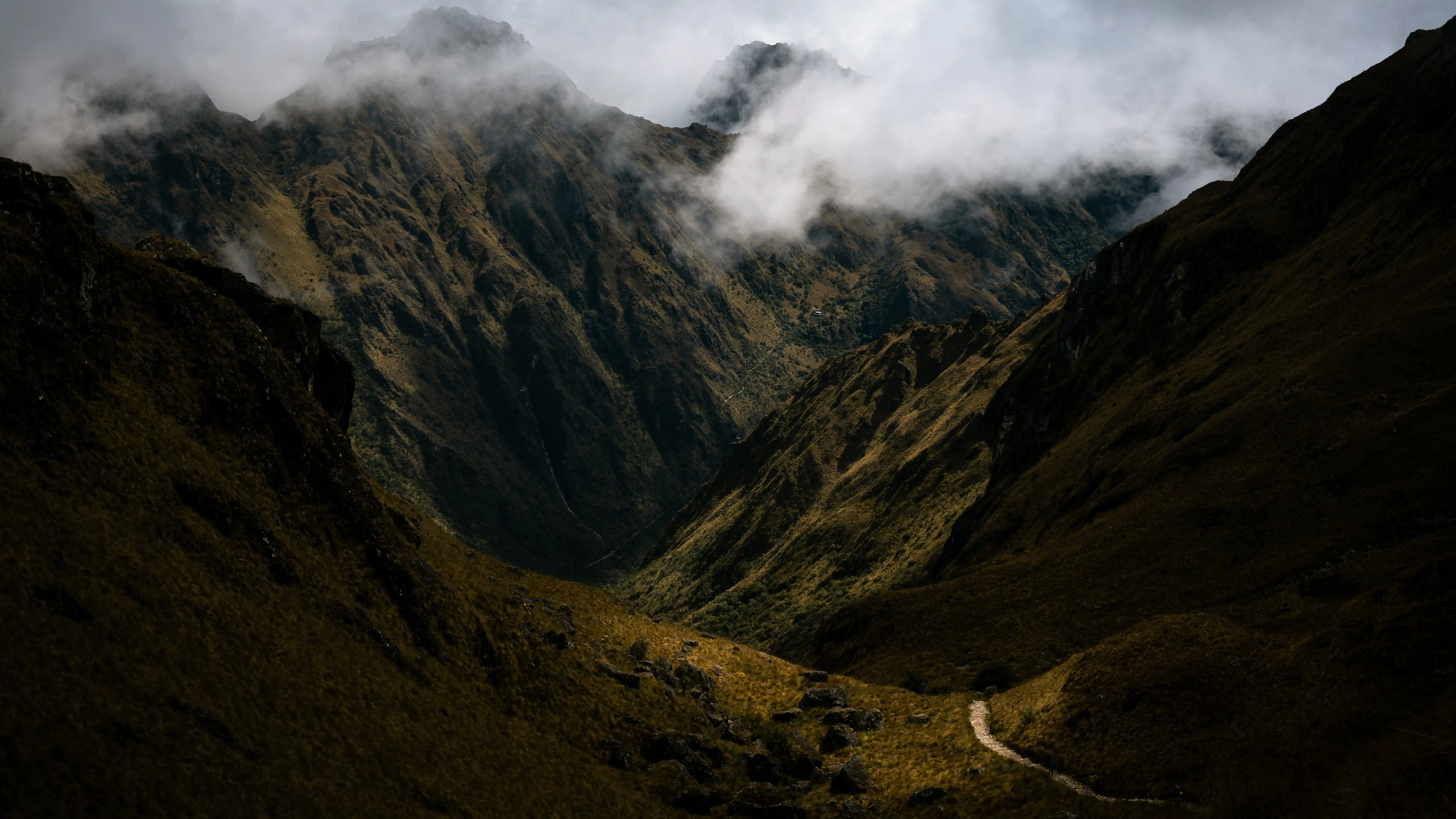
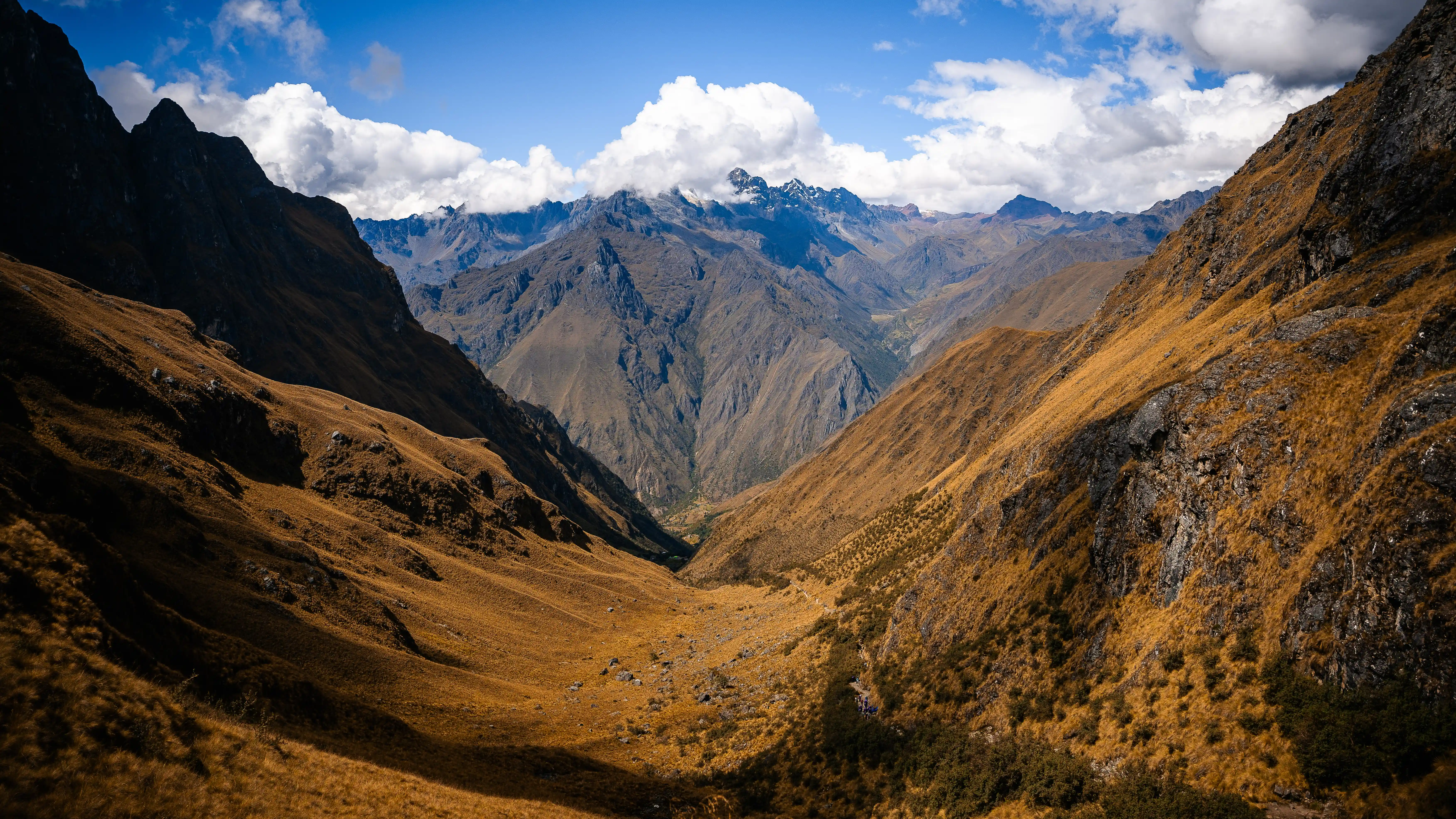
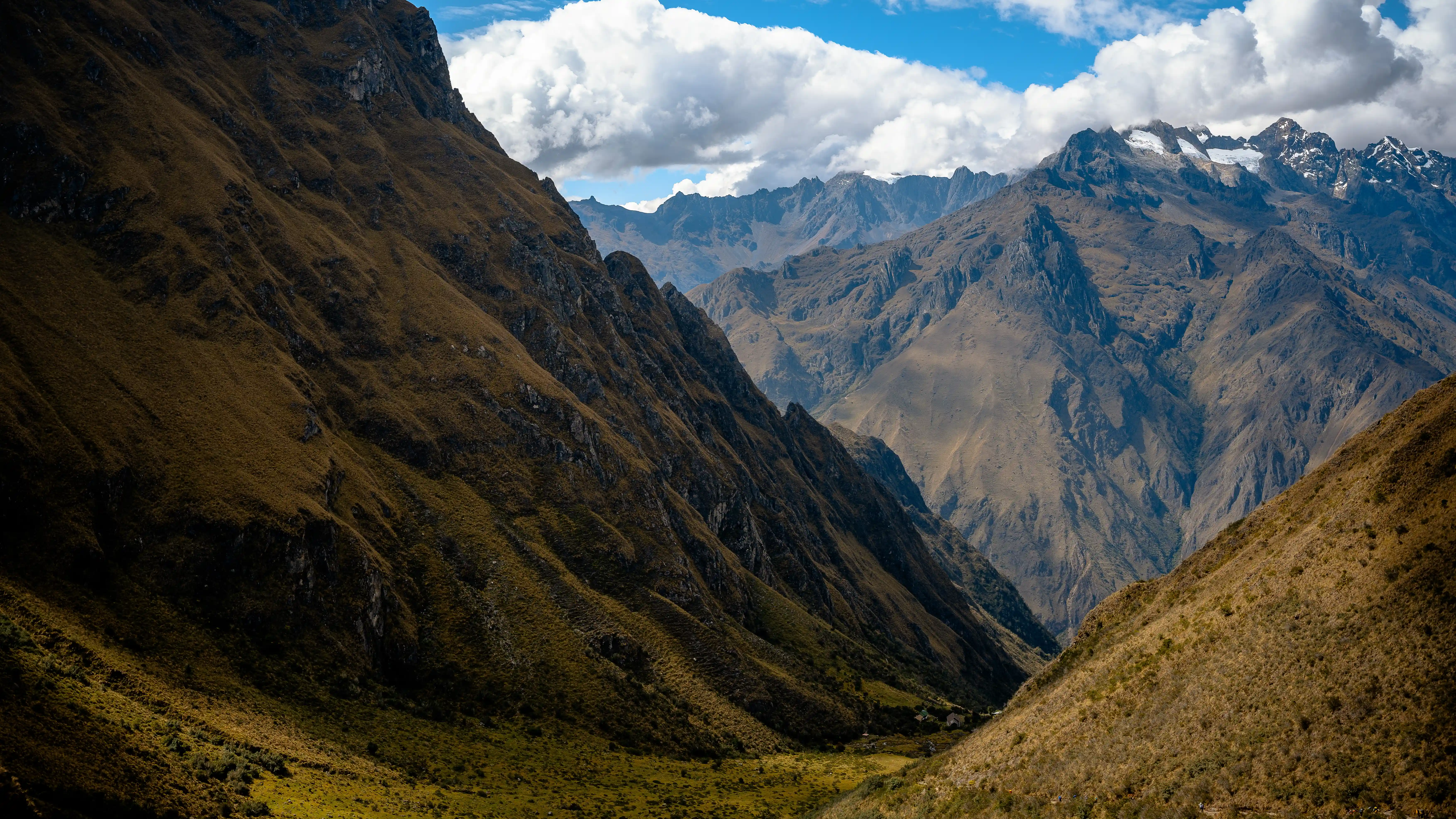
Looking back down the valley from the summit, the scale of the trail becomes legible in a way it cannot be from within it. The switchbacks descending the valley behind trace the route climbed over the preceding four hours. In the far distance, the next mountain pass — the destination the following day — is visible as a notch on the horizon, with the trail ascending toward it in a line that seems impossibly thin and far. This is the visual proof of what the Inca road system actually means: a path connecting one impossible place to the next, stitched together by engineering and will across terrain that resists both.